How we divide the city
Dunfermline has no single official list of neighbourhoods, so we group the city into 11 Local Areas. We use the names Fife Council, NHS Fife and the Care Inspectorate use where we can. Each Local Area page lists the schools, GP practices, pharmacies, nurseries, parks and community centres in it, with official sources.
Local Areas are a way to find things, not boundaries. Catchments, GP practice areas, community council areas and council wards all have their own boundaries, and none of them match ours exactly.
Local Areas at a glance
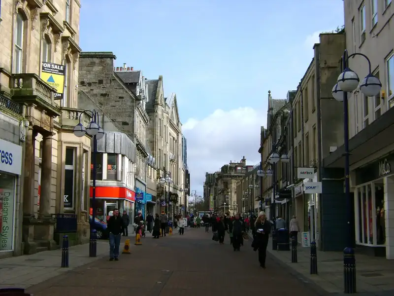
- City Centre: The historic core around the Abbey, High Street, Public Park and Dunfermline City station. Most of the city's dentists, the Carnegie Library and Galleries, the bus station and Carnegie Leisure Centre sit here.
- Abbeyview: A large residential area east of the centre, with Abbeyview Community Hub and Abbeyview Park at its heart, plus Linburn and Woodmill streets.
- Duloch & Masterton: Dunfermline's eastern expansion: Duloch Community Campus (school, library and leisure centre), Carnegie and Canmore primaries, Masterton, and the Dunfermline Learning Campus.
- Halbeath & Whitefields: The eastern edge of the city around Halbeath, the Park & Ride and Halbeath Retail Park. Whitefields is a major new housing area here. Listings for the adjoining settlement of Crossgates, which KnowFife includes in the City of Dunfermline Area, are also grouped on this page.
- Townhill & Wellwood: Villages immediately north of the city, with Townhill Primary, Townhill Country Park and the Dunfermline Recycling Centre at Lochhead, north of Wellwood. Fife's Local Development Plan work notes strategic development at Dunfermline North (Wellwood).
- Pitcorthie: A largely residential area south-east of the centre, served by Pitreavie Primary and the John Marshall Community Centre.
- Touch & Garvock: South-east of the centre around Touch Primary on Garvock Bank, Woodmill and Garvock Hill.
- Baldridgeburn & Milesmark: The north-west of the city, along Baldridgeburn towards Milesmark, with McLean and Milesmark primaries and Baldridgeburn Community Centre.
- Kingseat: The village of Kingseat, on the north-eastern edge of the city, with its own community centre, a council play area and buses into Dunfermline.
- Headwell & Bellyeoman: North of the city centre, around Robertson Road and Bellyeoman Road. Home to Bellyeoman Primary, Queen Anne High School, two GP practices and Queen Margaret Hospital.
- Brucefield & Netherton: South of the historic centre, around Nethertown, Hospital Hill, Izatt Avenue and Brucefield, including St Leonard's Primary, Dunfermline High School and Hospital Hill Surgery.
Five checks for any address
- School catchment. Put the exact address into Fife Council's catchment checker (opens in a new tab). The council says your catchment school may not be the closest one.
- Council tax band. Bands are set by the Fife Assessor. Fife Council says you can check a band on the Scottish Assessors website (opens in a new tab). Our council tax guide has the 2026/27 charge for each band.
- GP practice. NHS inform warns that a practice that shows up in a postcode search may still not cover your address. Ask the practice directly. See our GP guide.
- Bin collections. Check the address on our bin collection page. Flats and rural properties can have different arrangements.
- Community council. Find yours on Fife Council's community council map (opens in a new tab). Some areas do not have an active council.
Commuting from different parts of the city
Dunfermline City station is in the City Centre. Dunfermline Queen Margaret station is next to the hospital in Headwell & Bellyeoman. Halbeath Park & Ride, at M90 junction 3 in Halbeath & Whitefields, has express coaches to Edinburgh and Glasgow. Our transport guide has journey times and fares.
New-build housing
The city is still growing to the north and east, including Whitefields and Dunfermline North (Wellwood). If you are buying a new-build home, Fife Council says new postcodes are uploaded to the catchment checker. Use your new address there rather than a sales brochure. Our schools and catchments guide explains more.
Questions people actually ask
Which is the best area of Dunfermline to live in?
We do not rank Local Areas. The right one depends on your school catchment, your commute and the services you need, so use the Local Area pages and the official checks for the exact address.
Are your Local Areas official boundaries?
No. They are our way of grouping the city so you can find services. Catchments, GP practice areas, community councils and council wards have their own boundaries.
How can I find a property's council tax band before I move?
Fife Council says bands are set by the Fife Assessor and you can look a band up on the Scottish Assessors website. Our council tax guide lists the 2026/27 charge for each band.
Sources and last checked
We last checked every fact on this page against the official sources below on . Services and dates change, so follow the links before you rely on anything here. Spotted something out of date? Tell us.
- Fife Council: Check school catchment areas (opens in a new tab)
- Scottish Assessors: Fife Assessor (council tax bands) (opens in a new tab)
- Fife Council: Council tax bands and charges (opens in a new tab)
- NHS inform: Registering with a GP practice (opens in a new tab)
- Fife Council: Bin calendar (opens in a new tab)
- Fife Council: Find your community council (opens in a new tab)
- ScotRail: Dunfermline City station (opens in a new tab)
- Stagecoach: Park and Rides (Halbeath and Ferrytoll) (opens in a new tab)
- Fife Council: Primary schools (opens in a new tab)